
PIX4Dmapper
The leading photogrammetry software for professional drone mapping
PIX4Dmapper is the photogrammetry software of choice for thousands of professionals, it has proven to be flexible, powerful, and precise. Get a range of outputs including 3D point clouds, digital surface models, orthomosaics, 3D textured models, and thermal imagery. Check out the latest version to boost your mapping workflows. Used in all industries from surveying to agriculture to public safety.
Capture
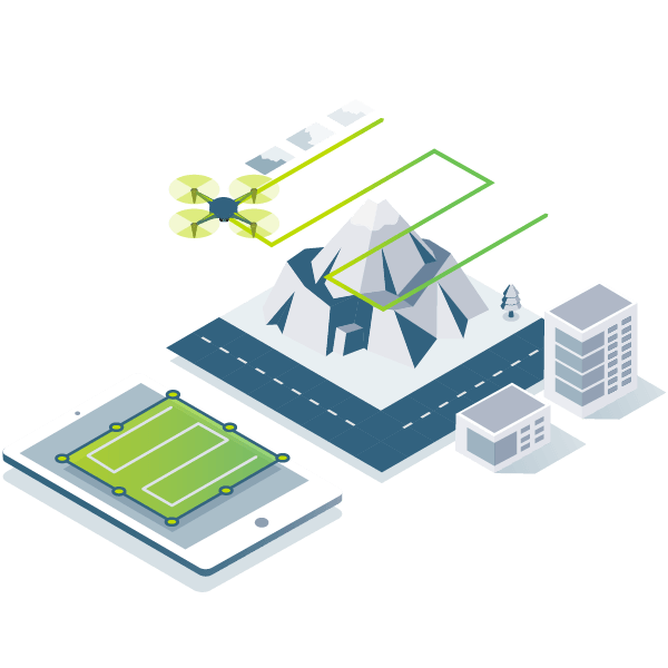
Capture RGB, thermal, or multispectral images with any camera or drone and import them to PIX4Dmapper.
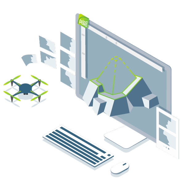
Digitize
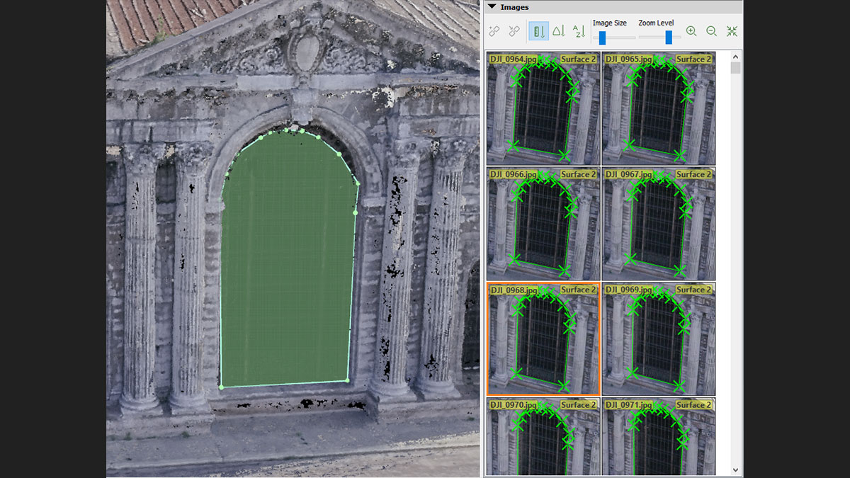
PIX4Dmapper’s photogrammetry algorithms transform your ground or aerial images in digital maps and 3D models.
Seamlessly process your projects on your desktop using our photogrammetry software, or bundle with PIX4Dcloud for online processing.
Control
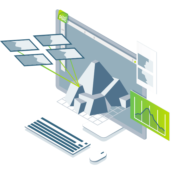
Use the power of photogrammetry in the rayCloud environment to assess, control and improve the quality of your projects.
Use the quality report to examine a preview of the generated results, calibration details, and many more project quality indicators.
Measure & inspect

Collaborate & share
Streamline project communication and teamwork.
Selectively and securely share project data and insights, with your team, clients, and suppliers, using standard file formats.
The end-to-end photogrammetry tool for every project

Survey-grade results
PIX4Dmapper’s photogrammetry algorithms transform your ground or aerial images in digital maps and 3D models.
Seamlessly process your projects on your desktop using our photogrammetry software, or bundle with PIX4Dcloud for online processing.

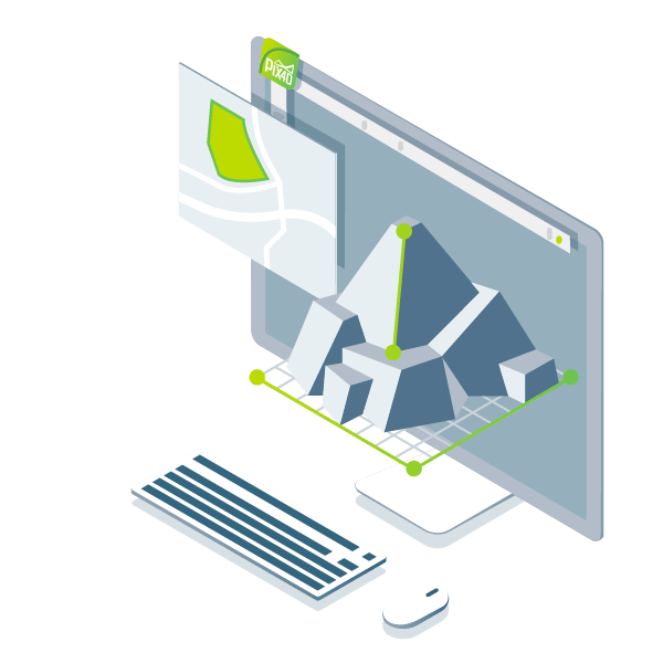
Complete control over your project
Define an area of interest, select processing options, add ground control points or edit point clouds, DSMs, meshes, and orthomosaics.

Your workflow, your choice
Accurate 3D maps and models, purely from images

Automatic point cloud classification

Flatten & smoothen digital surfaces
Easily measure surface, distance & volume
